WPSD Local 6’s Weather Authorities are tracking the potential for wintry weather to make a return to parts of the area early next week. Accumulation of snow and/or ice could result in travel impacts for some locations.
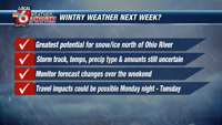
There is still a lot of uncertainty with this system. The exact storm track, extent of cold air, precip types, and amounts are all still in question. As of now, impacts from wintry weather appear most likely for areas near and north of the Ohio River.
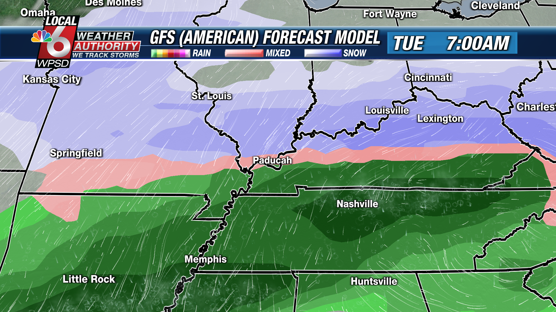

As of Friday, the American (GFS) forecast model has been consistent in setting up the rain/snow line near the Ohio River, with the potential for accumulating snow over portions of Southern Illinois and Southeast Missouri.


Meanwhile, the European model has been generally showing slightly warmer temperatures, and a rain/snow line that sets up farther north closer to the Route 13 corridor in Southern Illinois. This would result in cold rain for the majority of the area.
We will continue to gain confidence in the specifics of how this system will play out over the weekend. We will have updates through the weekend on our Local 6 weekend newscasts, our Facebook fan pages, and on our WPSD Radar app. Stay tuned for the latest.